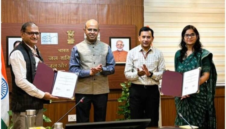
New Delhi: DDWS and BISAG-N have teamed up to give India’s rural water and sanitation missions a geospatial lift. The MoA, signed at CGO Complex, New Delhi, sets up a GIS-integrated decision-support platform for Jal Jeevan Mission and Swachh Bharat Mission (Grameen). It aims to make planning quicker, monitoring sharper, and evaluation clearer.
Secretary, DDWS, Shri Ashok K.K. Meena chaired the event. Smt. Swati Meena Naik, Joint Secretary (JJM), and Shri Vinay Thakur, Special Director General, BISAG-N, exchanged the agreement in the presence of Shri Kamal Kishore Soan, AS & MD-NJJM, and senior officials. The ministry framed the collaboration as a forward step in Digital India for rural communities.
What changes on the ground? First, the platform will fuse geospatial layers with programme dashboards for JJM and SBM(G). Second, it will provide real-time visualisation and analytics to support daily reviews. Third, it will map Rural Piped Water Supply Schemes and assign unique scheme-level IDs. Consequently, teams can trace assets to outcomes and spot gaps down to the household level.
DDWS BISAG-N partnership targets transparency, accountability, and efficiency
BISAG-N will handle the full stack: database design, map creation, data migration, software development, and systems integration. Additionally, advanced capabilities—ground control surveying, digital photogrammetry, vector capture, and thematic mapping—will raise spatial accuracy and help districts work from a common picture.
The platform will align with the PM GatiShakti National Master Plan. Therefore, water and sanitation layers can be viewed with roads, energy, and social infrastructure. As a result, planners can share routes, cut delays, and deploy funds where they deliver maximum benefit. This convergence should speed up rural infrastructure and reduce service friction.
Secretary Meena highlighted the governance payoff. With geospatial tools, administrators can plan transparently, account for progress, and course-correct faster. Moreover, states can benchmark districts and design interventions that match evidence, not assumptions.
All of this fits the larger Digital India vision. By combining spatial intelligence with mission data, the DDWS BISAG-N partnership builds a reliable digital ecosystem for rural water and sanitation. Ultimately, better maps and better data should mean steadier taps and cleaner villages.

