
Hyderabad: Irrigation Minister N. Uttam Kumar Reddy announced that a Telangana flood zoning agency will be set up to map vulnerable river stretches ahead of the monsoon.
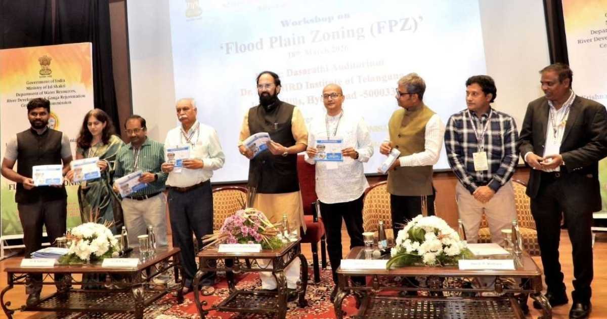
He outlined the plan during a workshop on floodplain zoning for Telangana and Andhra Pradesh held at MCHRD on Wednesday. The Krishna and Godavari Basin Organisation under the Ministry of Jal Shakti organised the event.
At the meeting, the Minister presented a roadmap to tackle recurring floods and reduce damage across the state. He said authorities would prioritise flood-prone areas along major river systems.
The plan focuses on high-risk stretches of the Godavari at Bhadrachalam and the Munneru in Khammam. In addition, it includes other vulnerable sub-basins that face repeated flooding.
He said these regions require targeted intervention to minimise risks. Therefore, the proposed agency will play a key role in identifying and managing such zones.
Telangana flood zoning agency targets high-risk areas
Uttam Kumar Reddy recalled the September 2024 floods and detailed their impact across 29 districts. The disaster caused losses of about Rs.5,438 crore and damaged more than 1,000 km of roads.
Moreover, floodwaters inundated 110 villages and claimed 29 lives. He said the Munneru reached a record level of 36 feet, submerging entire colonies in the region.
The Minister said human activities had worsened flood risks. For instance, he cited encroachments on flood plains, blocked drainage systems and shrinking wetlands.
He also referred to the Central Water Commission’s three-zone model of Protected, Regulatory and Warning Zones. As a result, he stressed that floodplain zoning was essential for sustainable development.
Further, he said the Musi River Rejuvenation Project would adopt such zoning norms. The initiative aims to restore river space and regulate development along riverbanks.
Additionally, he highlighted siltation in reservoirs as a factor increasing flood intensity. He urged the Central Water Commission to prioritise desiltation measures.
The Minister said the Telangana flood zoning agency would use GIS-based mapping and improved forecasting systems. Meanwhile, authorities will conduct mock drills and strengthen coordination among agencies.
He called for collaboration among policymakers, academia, industry and communities to reduce future risks. Senior officials from the Central Water Commission, GRMB, KRMB and irrigation departments attended the workshop.